CLRCRMCK
Data strategy highlights geospatial data challenges
A new assessment discusses the importance of data sharing, a lack of standards and the skills gap

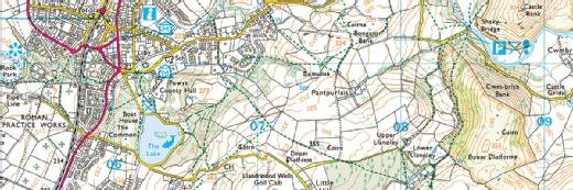
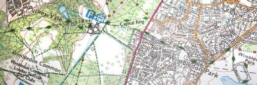
As part of the government’s National Data Strategy, the Geospatial Commission has published an assessment of the UK’s geospatial data, which calls for such data to be made a strategic national asset.
In the assessment, Kru Desai, independent commissioner of the Geospatial Commission, called for a coherent national geospatial data system as the basis for the UK’s data economy. But she warned that national geospatial data assets are maintained by a complex and fractured ecosystem.
“The diversity, scope and complexity of datasets presents a growing challenge – datasets cover many sectors, take many forms and are supplied by many organisations,” said Desai. “A map of geology, a weather forecast, an aerial photograph, a classification of land use, the blue dot on your satnav – it is all geospatial data. But it is not easy to fit these things together.”
The strategy document discusses why the commission has adopted the FAIR (Findable, Accessible, Interoperable and Reusable) framework for geospatial data.
FAIR is an internationally applied framework to structure and communicate data improvements. The report covers how FAIR is being adopted for the UK’s geospatial data held by the Geospatial Commission’s six partner bodies – the British Geological Survey, the Coal Authority, the UK Hydrographic Office, HM Land Registry, Ordnance Survey and the Valuation Office Agency.
“The UK has some of the best geospatial data in the world, and we have found much to celebrate,” said Desai. “But we have not shied away from calling out where improvement is needed to bring the greatest overall benefit for the UK. The FAIR principles need to be applied more consistently, and we need a shift in culture and capabilities if the UK is to unlock the power of location.”
Among the recommendations set out by the Geospatial Commission is ensuring that the UK’s data is created explicitly with reuse in mind. Data reuse may be licensing limitations and organisational remit. The paper also stipulates that geospatial data complies with ISO 19157:2013, which establishes the principles for describing the quality of geographic data.
John Kimmance, managing director, Ordnance Survey National Mapping Services, said: “It is so important that we continuously improve how customers find, access and use geospatial data. We are proud to be working with the Geospatial Commission to ensure that the foundations of geospatial in Britain are fit for purpose.”
Lack of skills is another area of concern highlighted by the commision. “Many organisations, including our partner bodies, report that they plan to digitise legacy data but face resource, skills or funding barriers to bring them up to the required market standard, or to use data in an upgraded form,” said the authors of the assessment document.
The Geospatial Commission said it would be working with partners to agree a code of practice for the implementation of FAIR data. It said the new code of practice would embrace the diversity of the geospatial market to ensure that, for UK geospatial data, FAIR is applied transparently and consistently.
Read more about geospatial data
- A report by the Geospatial Commission outlines some actions public bodies and companies can take to make better economic use of location data.
- Harnessing the power of geospatial data in IoT enables businesses to unlock a wealth of insights to inform decisions that put them ahead of the curve..
Read more on IT strategy
-
![]()
AI provider search is here. How can health orgs stay visible?
By: Sara Heath
-
![]()
MariaDB goes geospatial, developer-first
By: Adrian Bridgwater
-
![]()
Ordnance Survey research reveals sustainability projects as hot for software developers
By: Brian McKenna
-
![]()
How data sharing and collaboration can solve great challenges