Riko Best - Fotolia
4G IoT network may ease aviation sector fears over drone safety
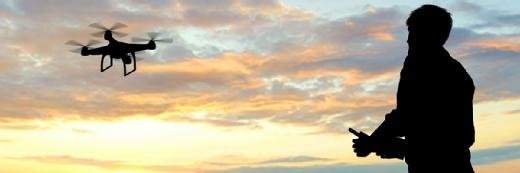
Vodafone is testing mobile and internet of things network technology to protect commercial aircraft from badly flown drones

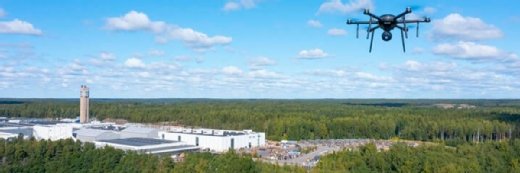
Mobile network operator (MNO) Vodafone has commenced trials of what it claims is the world’s first air traffic control drone tracking and safety service, using a 4G mobile network and internet of things (IoT) technology to protect air passengers.
Since unregulated, commercially available drones are too small to be tracked by conventional radar, the risk to life should a drone collide with an airliner is a source of serious concern for civil aviation authorities.
Indeed, over the past few years there has been a steady stream of high-profile incidents in which irresponsible drone hobbyists flew their toys too close to airliners taking off and landing.
According to the Single European Sky Air Traffic Management Research (Sesar) project, drones will log more than 250 million flying hours a year above Europe – over seven times the cumulative annual flying hours of conventional aircraft in the same space.
In response to the problem, Vodafone has developed a radio positioning system (RPS) using a 4G modem and SIM embedded within each drone to enable real-time tracking – with up to 50m accuracy – by operators and air traffic controllers, and over-the-horizon/beyond-line-of-sight control for users.
The system also incorporates protective geofencing, with drones pre-programmed to land automatically or fly back to their operators if they stray too close to exclusion zones, emergency remote control intervention to enable authorities to override a user’s commands, and SIM-based identification and registration.
It has also incorporated artificial intelligence (AI) algorithms to allow large numbers of drones to be tracked and controlled remotely.
“This groundbreaking innovation by Vodafone will help to ensure the skies stay safe as drones become ubiquitous, everywhere,” said Vodafone group CTO Johan Wibergh.
Read more about drones
- The use of drones for business is gaining popularity, but the technology’s value will vary widely across industries as use cases expand, says Intel’s Anil Nanduri.
- In Abu Dhabi, the authorities are using data collected by live video stream from drones to help alleviate traffic jams and other issues.
Matthew Baldwin, European Commission (EC) deputy director general, added: “The Commission supports all trials aimed at realising our vision for safe commercial drone operations in the EU – there is a growing network of demonstrations and projects across the EU. We look forward to hearing the results of Vodafone’s work.”
A preliminary trial in the autumn of 2017 saw a 2kg X-UAV drone with a 1.2m wingspan tracked along a 32km course in southern Spain, during which the drone was able to transmit a constant real-time high-definition (HD) video feed and flight data, including its speed, RPS location and GPS coordinates.
Further tests of the technology will take place in Germany and Spain this year, with the intention of making it available commercially in 2019. Vodafone has additionally placed its RPS research and intellectual property in the public domain to enable other innovators to work with the technology.
The operator said it saw a number of other applications for the technology besides protecting air traffic. These include preventing inadvertent or malicious drone incursions at sensitive locations, such as hospitals or prisons, or addressing the so-far hypothetical worst-case scenario in which a terrorist organisation might use a drone to deliver explosive or biological payloads to targeted locations.
RPS technology could also boost functionality for other IoT devices, even replacing GPS in some scenarios, such as indoor location tracking, where GPS may not be viable.
Read more on Mobile networking
-
![]()
AI drones undertake high-risk jobs along the supply chain
By: Chuck Martin
-
![]()
UAE advances urban air mobility with simulation-driven regulatory framework
By: Andrea Benito
-
![]()
Abu Dhabi accelerates autonomous mobility push with 29 commercial partnerships
By: Andrea Benito
-
![]()
Long-range drones to fly across UK’s critical national infrastructure
By: Joe O’Halloran