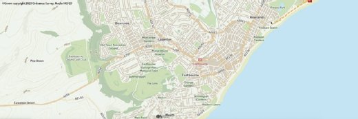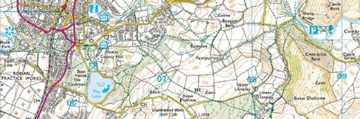
Ordnance Survey
Ordnance Survey opens up direct, API access to location data for public sector
Location data made available to public sector organisations via application programming interfaces, reducing data management overheads

Ordnance Survey (OS) has opened up its Data Hub, launched in July 2020, to public sector organisations.
OS said in a press statement that, as part of the Geospatial Commission’s Public Sector Geospatial Agreement (PSGA), 5,500-plus public sector organisations now have direct and immediate access to OS’s most detailed location data by way of a suite of application programming interfaces (APIs).
The APIs are available via the OS Data Hub and provide a way to access the most up-to-date OS location data.
Chris Chambers, head of the PSGA at Ordnance Survey, told Computer Weekly: “This means that people wanting to deliver better public services can stop using so much time on data management and use their time to innovate.”
The development is part of a 10-year, £1bn government investment in data, software, technology and customer support services to expand the value of Ordnance Survey’s location data, with a view to stimulating innovation in the public and private sectors.
OS data is already used in the public sector, covered under previous agreements, in Scotland, England and Wales. The Government Digital Service (GDS) is a “phenomenal” user, said Chambers.
“The user base ranges from ambulance, police and fire to the Home Office and other government departments,” he added. “But we are not just catering for those really large departments – it’s there for parish councils, and so on.”
Any public sector organisations not already included can apply to be part of the PSGA membership on the web.
The police, ambulance and fire services “will have unrestricted access to our APIs”, said Chambers, “so that they have as much data as they need when they need it”.
He added: “With other public sector organisations, we’ve done a throttle, where you get 600 transactions a minute, which is a lot.
“A lot what of we’re releasing today links up to public policy, too. The Geospatial Commission recently released its strategy and this delivers on that, as well as feeding into GDS’s UK digital strategy, increasing confidence in the use of the data economy. We’re supporting policy as much as use.
“People, especially in the healthcare sector, have really woken up to the value of location data, due to the impact of Covid.”
Read more about the use of location data
- CIO interview: Miranda Sharp, director of innovation, Ordnance Survey.
- UK government Geospatial Commission stipulates actions to exploit location data.
- Gender pay gap, undersea datacentre, digital mapping – Computer Weekly Downtime Upload podcast.
Chambers said OS had started with the private sector “as a smaller audience so we could trial and make sure all the supporting documents were up to speed and enhance as we went on, in an agile approach”.
He continued: “Over the last 10 months, we have seen location data play an important role in supporting the public sector’s response to Covid-19. The pandemic has highlighted how vital it is that high-quality geospatial data is easily and quickly accessible to all users.
“The APIs let users access the data they need when they need it. They deliver quick and easy access to detailed OS data and have been designed to save users valuable time. By using the APIs, it means that OS is handling the complexities of spatial data management, allowing users to focus on creating even greater value from the data.”
The APIs provide access to a range of OS datasets, including OS MasterMap, road network data, addressing information, 1:25,000 leisure mapping, as well as unlimited free access to OS OpenData products.
Chambers added: “The OS Places API, for example, is a great tool to help users improve the accuracy of their address searches. It is ideal for use in geocoding, automated form-filling and local area investigations. In addition, the APIs allow multiple geospatial datasets to be explored and linked together.”
The APIs enable the use of the same data across multiple applications in order to get a consistent view. They are not replacing any existing products and functionality, said OS. Users can continue to download the data products via the OS Downloads API.
The launch of the APIs to PSGA members follows a launch to developers and businesses in July 2020. In the first three months, 2,355 users registered for the OS Data Hub, 1,845 of them new to OS. In the same period, API users carried out more than 40 million transactions, with a 100% month-on-month increase in transactions.
Jamie Clark, deputy director of the Geospatial Commission, said: “Better location data and improved access is crucial to boost UK economic recovery and growth. The innovations to data access that Ordnance Survey is driving through the Public Sector Geospatial Agreement will provide for better policy and operational outcomes across a range of sectors and services, from housing, transport and retail to emergency response, public health and environmental management.”